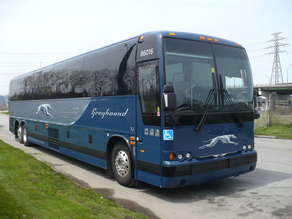
DALLAS – A 6-month-old partnership between Google Maps and BoltBus, a unit of Greyhound Lines, has been extended to the entire Greyhound system.

The partnership allows Greyhound and BoltBus customers to plan trips more efficiently and to connect seamlessly to Greyhound schedules and other transit options.
By integrating Greyhound’s network with Google Maps, customers can personalize their travel by exploring routes and locations at a street-level view, planning connections with other modes of transportation and get walking directions from various transit locations.
Google Maps supports multiple languages and links to www.Greyhound.com so customers are able to purchase tickets from wherever they are.
“We are excited to provide a new travel planning solution for customers through our partnership with Google Maps,” said Todd Koch, vice president of strategy and business development at Greyhound.
“This partnership provides an easy and convenient way for customers to explore their journey door to door, and choose the Greyhound schedule that works best for them.”
Through Google Maps, customers can view their travel route on their mobile device or computer. The interface is designed to help make trips run more smoothly.
Greyhound’s more than 250,000 city travel-pair options are connected to Google Maps. Customers may also view Greyhound’s routes when they search for directions using Google Maps.


